The Land Grant area and boundary were determined by the deeds issued. The land area and boundary of the property was taken from the description provided by the surveyor or on documents that provided land marks. The boundaries shown on the map are not exact scale but the property owned was within the area and boundary shown. Maps generated are on a modern day hybrid map. This is a ongoing mapping project and is a work in progress.
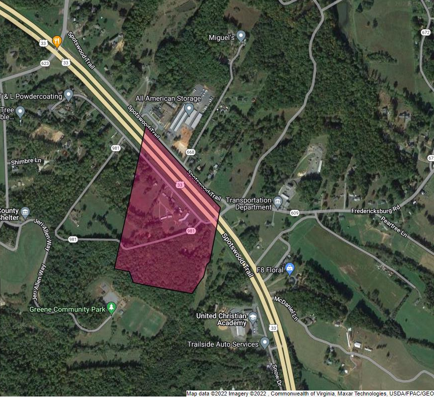
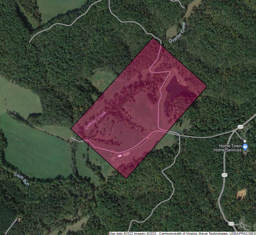
Spotsylvania County, Virginia
General Area Map

Philip Ballard Sr.
Philip Ballard Sr. purchased 342 acres from Edmund Waller on 13 October, 1743. In the Northwest corner of the property is a swamp area known as “Devils Ditch” and “Bear Swamp”.
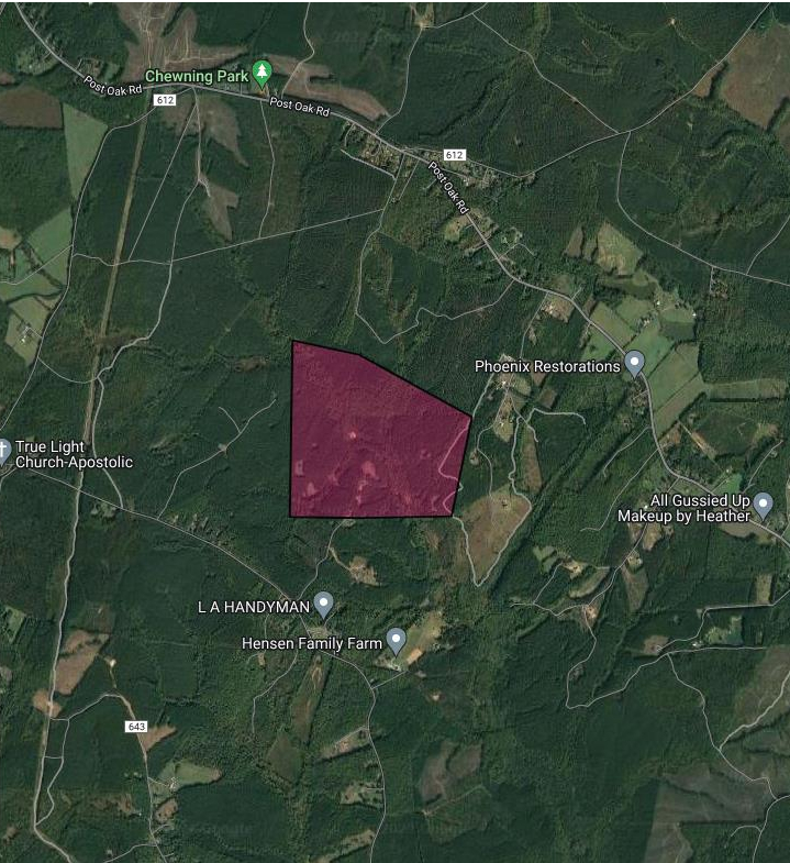
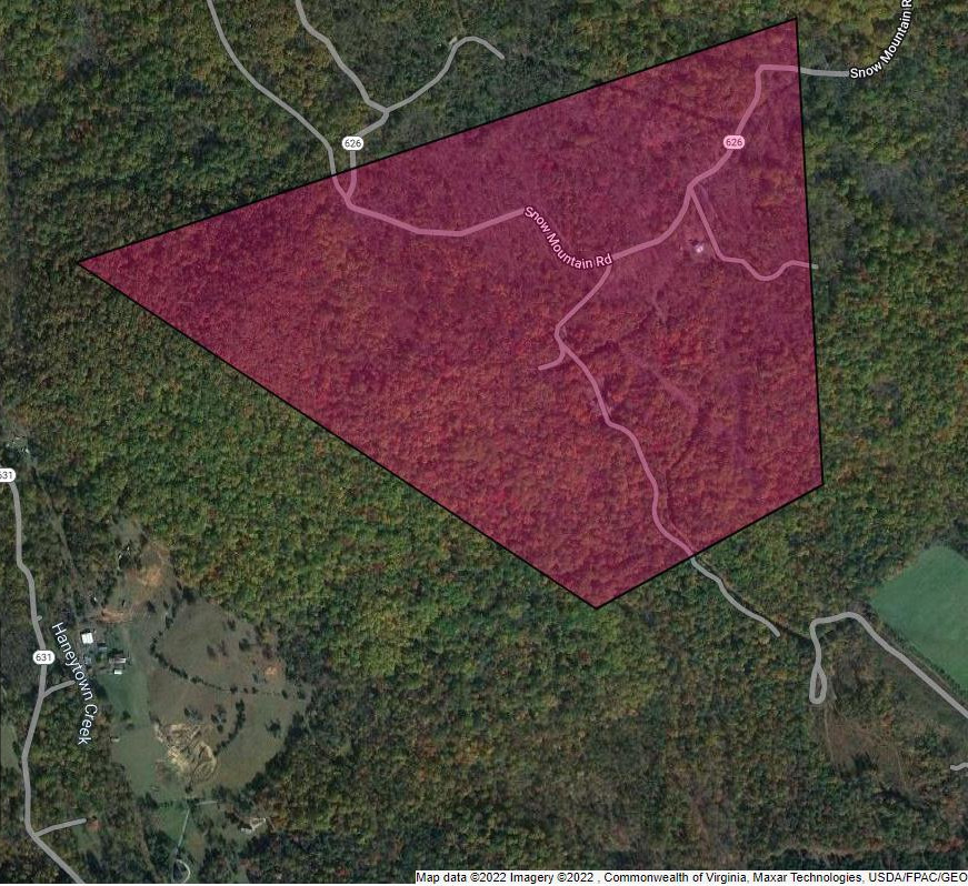
Orange County, Virginia
General area map
William Ballard
William and Elizabeth sold 86 acres to George Painter.
14 April 1787, Philip and Nancy his wife sold 100 acres for £50 to their son William. It’s theorized that Philip Sr. and Nancy were at their end of days and could no longer maintain their house and out buildings. It is possible they did this instead of writing out a will.
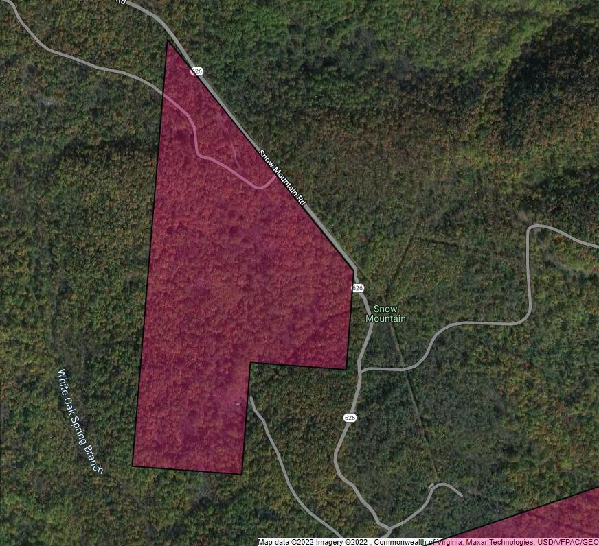
Thomas Ballard
23 April 1792, Thomas bought 99 acres from brother Elijah Sr. for £30.

Elijah Ballard Sr.
4 December 1782, Elijah bought 100 acres from John Brook of Essex County, Virginia.
16 April 1787, Elijah and Milly his wife sold 200 acres to George Berry for £100. The two witnesses on the document are brothers William and Philip Jr. This sale was made two days later after William bought the 100 acres from parents Philip Sr. and Nancy.
Moreman Ballard
27 April 1795, Moreman buys 104 acres for six thousand pounds of Tobacco from Joseph Chapman. This is the same Joseph Chapman that would take Moreman’s brother Philip Jr. to court in 1797 for slanderous statements.

Johnson Ballard Sr.
[Place holder – currently researching]
Philip Ballard Jr.
3 May 1802, Philip in a Indenture of Trust transferred 40 acres to Medley Ballard. This was court ordered to satisfy debts to Baldwin Buckner for $500 and other debt owed to William Stone, Anthony Buck and James Blair (merchant). In Court documents and Road Orders it shows that Philip Jr. had land in the area close to brother William and Moreman. A grant or deed hasn’t been found and it has not been determined yet how much or location of land.
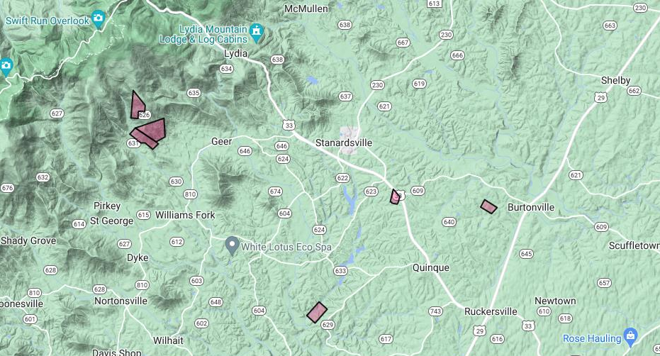
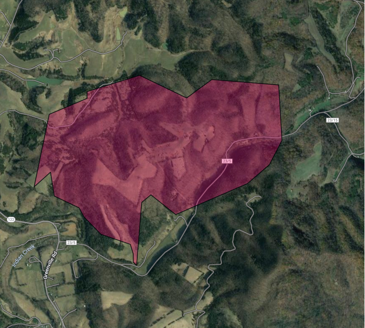
Culpeper County, Virginia
[Place holder – currently researching]
Greenbrier/Monroe County, Virginia
General Area Map
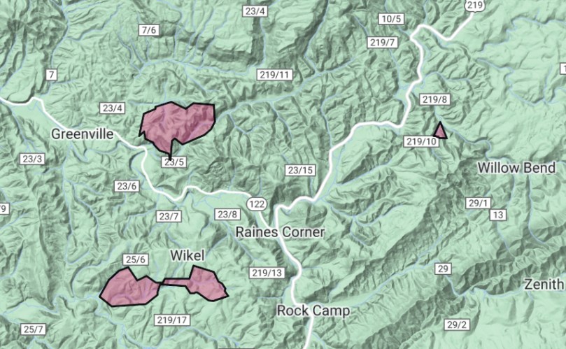
William Ballard
On 12 March, 1799 a survey was made for William Vawter and William Ballard on 600 acres. The property was divided equally between the two. It is unknown how this was divided.
Curtis Ballard
On 6 August, 1799, Curtis purchased 669 acres using warrants issued to him. Curtis later sold 400 acres of this land to Robert “Robin” Cummins. Curtis’ brother William is buried on that property.
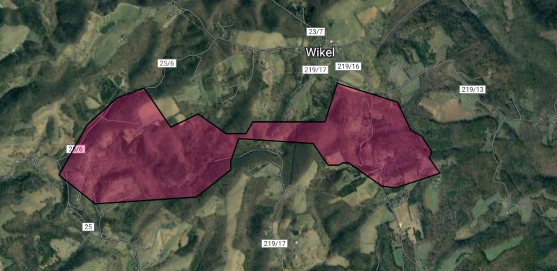
Elijah Ballard Sr.
On 15 July, 1806 Elijah purchased 88 acres from Joshua Mitchel south of Turkey Creek.
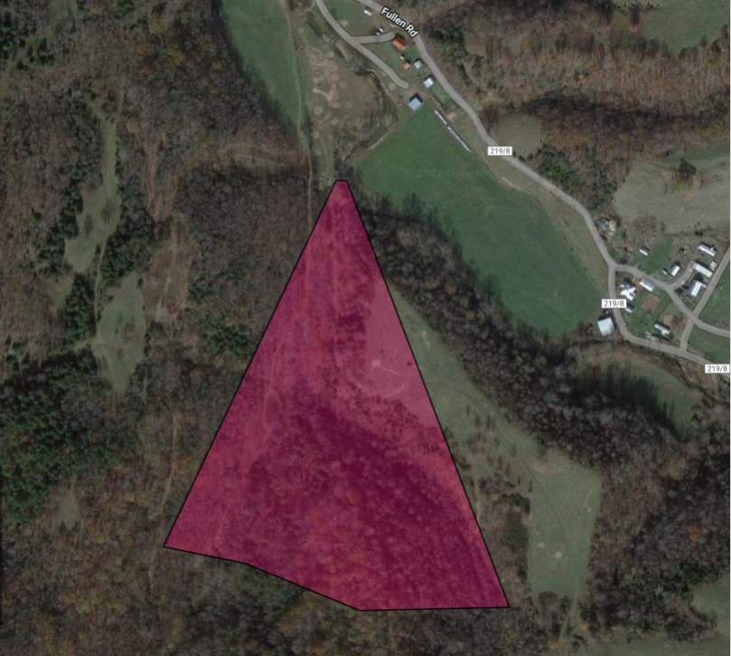
Kanawha County, Virginia
[Place holder – currently researching and mapping out boundaries]
Rush County, Indiana
General Area Map
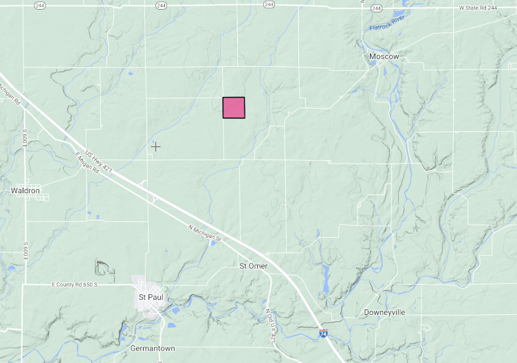
Elijah Ballard Sr.
On July 10, 1826, Elijah purchased 80 acres in Rush Co., Indiana.
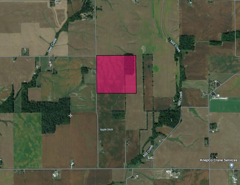
Madison County, Kentucky
General Area Map
Larkin Ballard
[Place holder – currently researching and mapping out boundaries]

You must be logged in to post a comment.